Adaptive Mountain Bike Trails Mapping Initiative

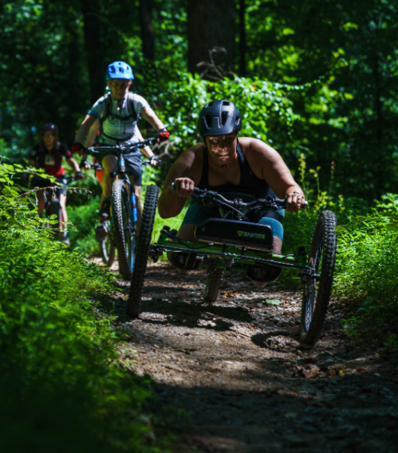
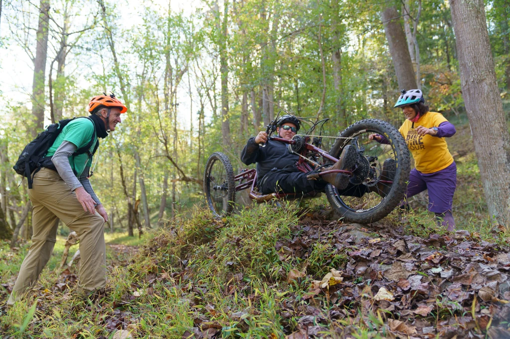
With e-bike tech, adaptive mountain biking has escaped the gravity resorts and enabled more people to get outside and enjoy our parks. These bikes are capable and they can ride many of the same trails I enjoy as an able bodied biker. However these bikes are longer, wider, and more sensitive to camber.

To help people find the right trails for them, we need to tag them in trail apps and databases, preferably with an AMTB rating assigned by an adaptive rider.

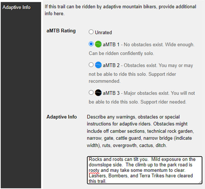
AMTB 1 – NO SUPPORT NEEDED
AMTB 2 – SUPPORT RECOMMENDED
AMTB 3 – SUPPORT NEEDED

The unpavement website describes the rating system in detail and Kootenay Adaptive Sport Association produced a set of standards for adaptive trail construction. Neither the trail spec nor rating system are intended to be ADA. Challenging terrain is desired!

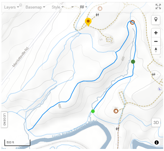
Where can we tag these trails to make them discoverable?

Open Street Map

Logo - Open Street Map

Also known as the Wikipedia of maps, OpenStreetMap data serves as the foundation for Strava, All Trails, and many other applications. Anyone can edit the map or export the map data for use in other applications. As with Wikipedia, quality varies but is generally very good.

The key mtb:scale:amtb is proposed, but not yet approved. I’ll update this post after I consult with their trails working group. In addition to the 1,2,3 rating, they propose an attribute for ‘NO’ meaning not suitable for adaptive bikes and a technical attribute for trails with drops and other challenging features.

Trailforks

Trailforks and it’s app support AMTB ratings when the trail is edited to show it it open to mountain biking and that adaptive bike is a recommended bike type. The Trailforks advantage is that edits are curated by vetted editors and they cooperate with the agencies or responsible parties that mange the land. The disadvantage is that edits in Trailforks stay there. They don’t move on to OpenStreetMap or any other platform.

Screenshot of adaptive information pane in the trailforks editor
Trailforks Editor, Adaptive Rating and Info
Image of athlete riding an adaptive bike on a natural surface trail
Bomber Adaptive Bike, Photo by https://khopshoots.com/

Projections for Maryland Infrastructure

DRAFT – This is a work in progress

For infrastructure GIS in Maryland, most GIS systems store geometry in the Maryland State Plane NAD83 coordinate system. That standard was adopted in 1987 and required by 1992. (1) However, the average age of a water main in the Baltimore metro area is 70 years and a lot of it is older than that. When you look at those drawings those you will find other coordinate systems. What are they and how do you identify them?

Maryland State Plane NAD83

Let’s start with the current one. It’s commonly called Maryland State Plane NAD83 and the EPSG code is 2248. A large false easting is used to keep all the numbers positive and to distinguish it from NAD27.

Tick on a 2017 drawing in NAD83

  • Minimum X:~600,000 feet
  • Minimum Y:~90,000 feet 
  • Maximum X:~1,900,000 feet 
  • Maximum Y:~800,000 feet 

If your coordinates are outside these values you are out of state or you’ve guessed the wrong system.

Maryland State Plane NAD27

Prior to NAD83 we had NAD27. This system also uses false easting to keep the numbers positive but the range is lower. You should not see these coordinates on drawings dated after 1992.

  • Minimum X: ~80,000 feet
  • Minimum Y:~35,000 feet
  • Maximum X:~1,400,000 feet
  • Maximum Y:~700,000 feet

Baltimore City

Baltimore City and water projects in Baltimore County will have tick marks using Baltimore’s coordinates system. The point of origin is the Washington Monument at North Charles St and Monument St. False easting and northing are not used. Negative numbers are used south and west of the origin and the values are small compared to the state systems. There is no EPSG code for this system. You can download the projection file here.

1936 Drawing with Baltimore Coordinates
2017 Drawing with Baltimore Coordinates

Washington Suburban Sanitary Commission’s (WSSC)

Content Pending