Two wheeled mountain bikers have their choice of maps and apps for planning their next ride. As of 2025, the same is not true for adaptive mountain biking. To change that, we need to collect, store, and display adaptive trail data in places that athletes can use it.
Progress has been made. I worked with OpenStreetMap on final approval of the AMTB tags. TrailForks supports AMTB views in their system. RideWithGPS expressed interest, but needs a critical mass of open data to make it worthwhile.
The next step is to build out this inventory. That is accomplished by riding these trails, making the assessment, then making the edits in the open data. I have the GIS and Adaptive Bike Skills to do this, and to train this.
Example Map View of AMTB Trails
Rating System
The most common adaptive trail rating system is the one promoted by adaptive athlete Jeremy McGhee. AMTB1, 2, 3 are often equated with the Green / Blue / Black system used by ski resorts but that isn’t the intent. AMTB 1 indicates that a support rider isn’t needed. AMTB 2 indicates that one is recommended and AMTB 3 indicates a support rider is needed. A + indicates this trail meets a standard that makes it friendly to adaptive mountain bikes. X indicates technical terrain. (Source: The Unpavement)
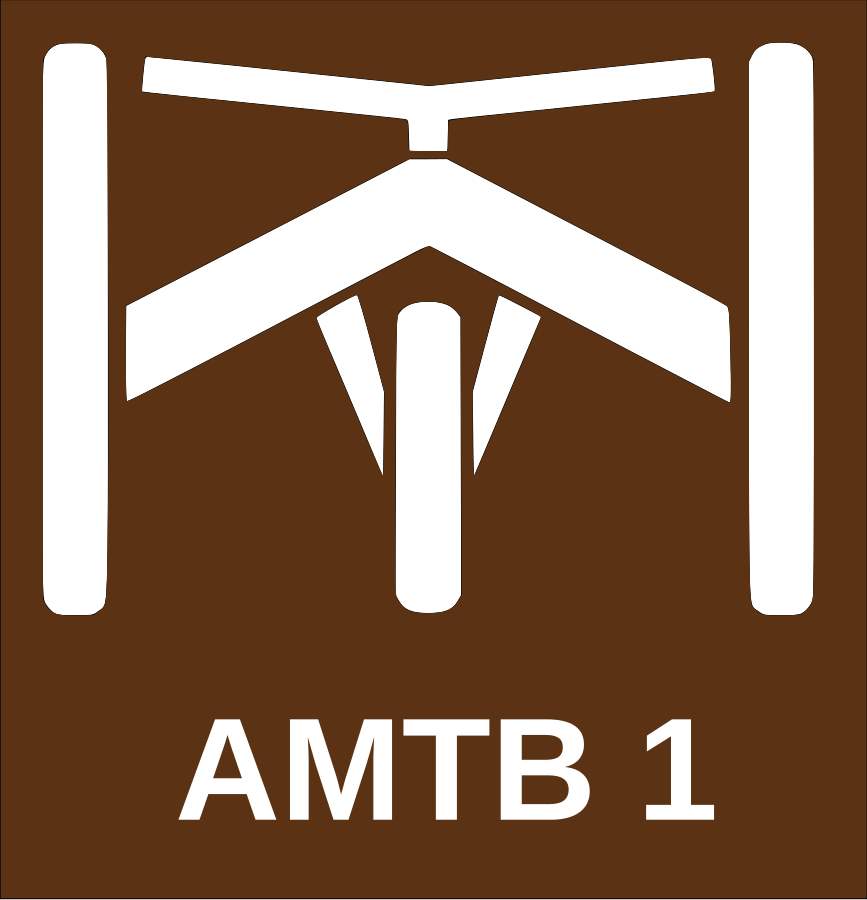
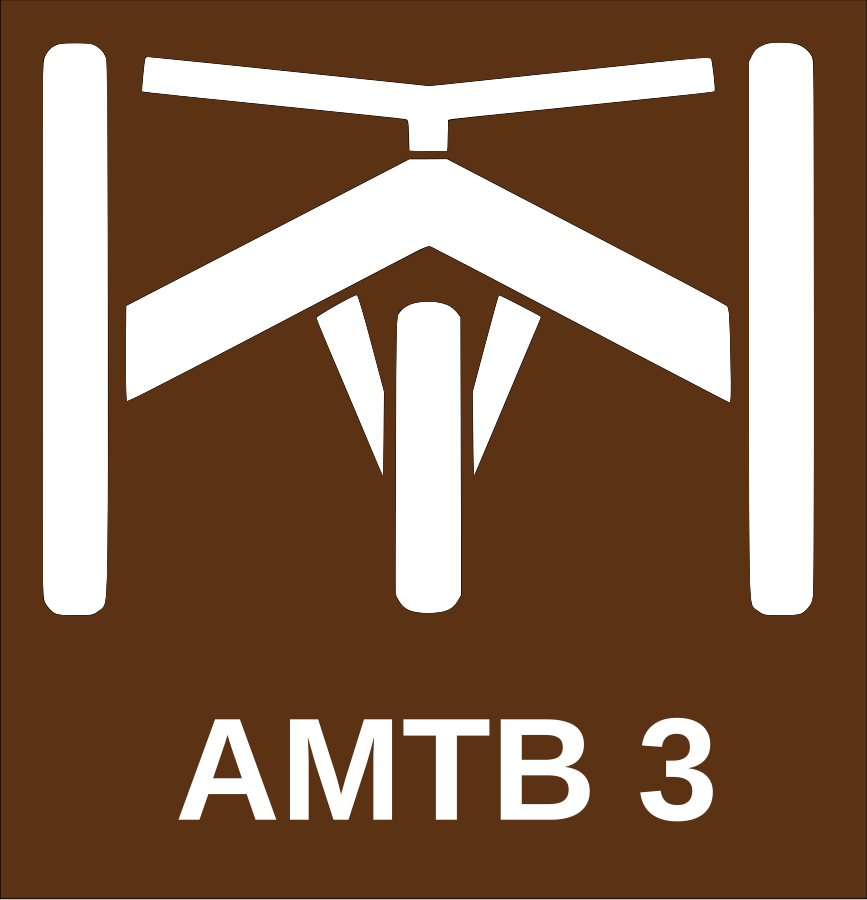
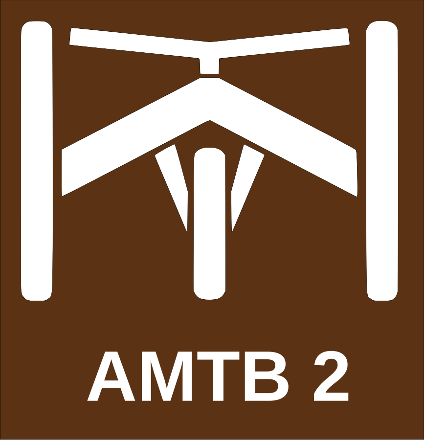
(Source: OpenStreetMap Wiki)
The beauty of this system is its simplicity. Ranking a trail can be achieved without any tools or measurements. Inventory projects using this scale are achievable. The downside is that the ratings are subjective, but the same is true for ski trail ratings. There are more objective, measurement-based systems. However, the time and cost of creating that data is a barrier to their use.
The Web of Apps and Maps
Most of us use apps and websites to plan an outing and to navigate trails. There are many to choose from, but most of them source their data from the same place. OpenStreetMap (OSM) is the Wikipedia mapping. It’s open license permits commercial use, and many of the apps we rely on use OSM under the hood. Strava, All Trails, and Ride with GPS are prime examples. TrailForks is an outlier. Their tools allow editors to import OSM data, but this flow in one way. Edits within TrailForks are not returned to OSM.


These apps, and many others, directly use or support imports from Open Street Map
In March 2025 the OSM Trails Working Group approved the amtb tags to allow this rating system to be an attribute of a trail. Trails with this attribute can be queried today. More importantly, is that all trail apps based on OSM data will have this attribute available to them. A programmatic change in how they render their maps is all that is needed to leverage the data. They do not need create and manage the inventory themselves.
While most trails apps do not explicitly use the amtb tags today, you can explore this tag with overpass-ultra. Try the sample code, or just click the link and press >run. The data can be exported for use in a GIS.
---
style:
  layers:
    - type: line
      beforeLayerId: road_label
      line-width: 2
      line-color: white
    - type: line
      beforeLayerId: road_label
      line-width: 2
      line-color:
        - case
        - [ ==, [ get, mtb:scale:amtb ], "1" ]
        - green
        - [ ==, [ get, mtb:scale:amtb ], "2" ]
        - blue
        - [ ==, [ get, mtb:scale:amtb ], "3" ]
        - black
        - pink
  extends: https://styles.trailsta.sh/openmaptiles-osm.json
---
(
  way["highway"="path"]({{bbox}});
);

out geom;